Markets
Renewable Energy
Wind & Solar Power
In 2019, for the first time, Texas began generating more energy from renewable sources than from coal. Already, Texas produces the most wind energy of any state in the nation, and its solar energy capacity is growing rapidly. As production of renewable energy becomes cheaper and easier to obtain, the green-energy trend is expected to continually grow. We are experienced with providing land surveying services in both energy sectors and have completed many wind and solar projects across the state of Texas.
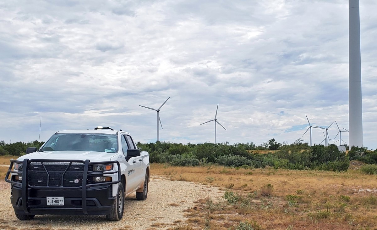
Wind Power
Wind turbine construction is surging across Texas, which produces more wind power and has more wind farms under construction than any other state. In fact, nearly one-third of all wind power in the United States is produced in Texas. Technology improvements, cost reductions, and state and federal laws and incentives are contributing to this unprecedented growth.
Rapid expansion in wind-power generation, delivery, and distribution has changed the landscape of development requirements, options, and projects. Our responsive and reliable land surveying services support all stages of wind turbine construction.
Design Support
- High-Resolution Aerial Mapping & LiDAR
- Topographic Survey
- ALTA/NSPS Land Title Survey
- Existing Road Studies
Construction
- Construction Staking
- ALTA/NSPS Land Title Survey
- Construction As-Built Survey
- Record Drawings
- High-Resolution Aerial Mapping & LiDAR
Post-Construction
- Post-Construction ALTA/NSPS Survey
- Post-Construction High-Resolution Aerial Mapping & LiDAR

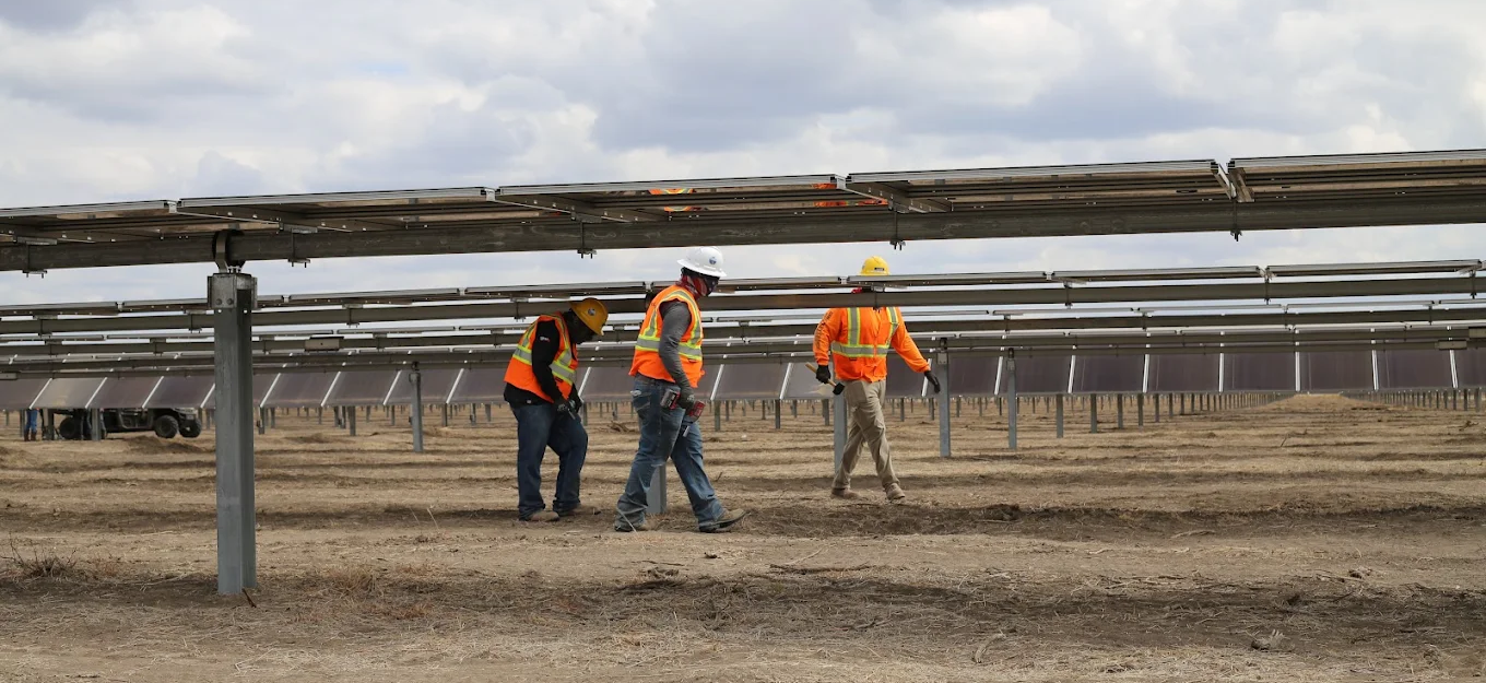
Solar Power
As Texas’ population skyrockets, electricity consumption is also increasing. Already a leader in wind power, the Lone Star State is quickly catching up in the solar-energy-production arena, the globe’s fastest-growing energy sector. Experts predict that unprecedented capacity will be installed in the state over the coming decade as government authorities remove market barriers and recognize solar’s benefits.