SERVICES


Drone UAV/UAS Surveying Services
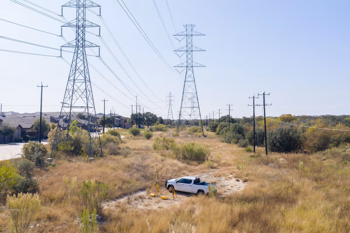
Today’s sophisticated surveying projects often require the use of aerial technology, including drones. Also known as Unmanned Aerial Vehicles (UAV), drones enable speedy, safe, cost-effective access to previously unreachable, uncharted, or even treacherous terrain.
Drones are nimble, precise, and provide rapid-deployment solutions used to capture site data for topographic surveys, ALTA-NSPS surveys, volume calculations, inspections, and many other surveying products. In addition, aerial surveys enable us to seamlessly communicate site design and monitor construction activities in real-time.
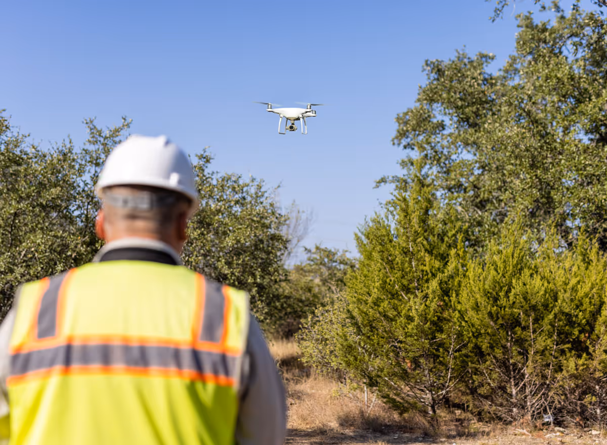
You can rely on our FAA-Certified Pilots—safely operating fixed-wing and rotary Unmanned Aircraft Systems (UAS), with onboard RTK GPS—to deliver accurate, quality results.
Drone Surveying is Beneficial Because...
With a drone, surveyors can capture many more topographic data points, hence more accurate volume measurements and options are made available for surveying and mapping solutions.
Drones are used for capturing data and analyzing the information which makes it easier to visualize progress of projects. Drones provide the ability to collect and report data quickly. Drones also can be used in areas that are not easily accessible to humans such as unattainable mountain tops or dangerous or treacherous terrain areas. With drone technology surveyors are empowered to take on complex projects in a more safe, efficient, and cost-effective manner.
Drones and traditional surveying methods are a beneficial combination. The solutions are endless and will enable surveyors to produce high quality surveying and mapping products for years to come.