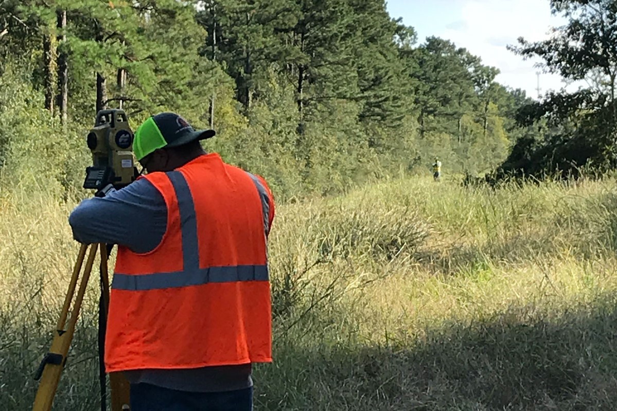
Land Surveying
Land Surveying Services
Having surveyed some of the largest boundaries in the State of Texas, completing complex time-crunching ALTA/NSPS projects, or being stationed on an expansive solar power construction project we have been known to be very dependable and highly skilled.

ALTA/NSPS Surveys
An ALTA/NSPS survey is one that has been prepared to the minimum standards of the American Land Title Association (ALTA) or the National Society of Professional Surveyors (NSPS). ALTA/NSPS surveys are generally required by lenders to accompany a title insurance policy when financing commercial and industrial properties. They may also be required when financing land for development projects.

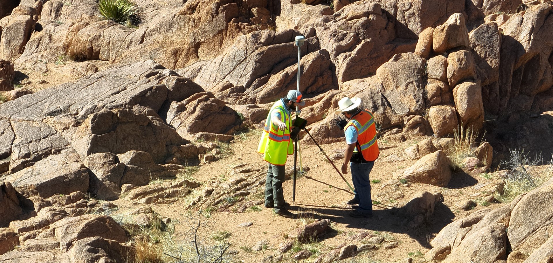
Large Acreage Ranch Surveys
Elizondo & Associates has many years of experience surveying large, expansive properties from as far north as the Texas Panhandle and throughout the entirety of South Texas. Recent surveyed properties as large as 46,000 and 65,000 acres have been well within the capability of our experienced team.

Topographic Surveys
Topographic surveys show the relief of a given property (its elevation, configuration, slope, orientation, etc.) as well as any artificial or naturally occurring features, such as buildings, improvements, fences, trees, and waterways. This type of survey is useful for planning, engineering, and grading purposes.

Land Partition Survey
A partition occurs when a parcel of property is segmented according to the proportionate interests of the property’s new owners. The process is often necessary when tracts of land are sold or inherited to ensure the smaller parcels maintain certain proportions to each other. Land Partition Surveys typically include a boundary survey of the land, setting monuments at corners of the newly partitioned parcels, replacing existing corners.
Tree Surveys
Tree Survey is a type of Specific Purpose Survey to locate trees based on the client or local governing authority’s required diameter and/or type on a site prior to engineering or development. This type of survey can locate specific trees of a certain species or minimum trunk size as desired by the client. The trees measured will be shown on a boundary survey drawing of subject property. The surveyor then draws a map showing scaled location of trees in relationship to a boundary line or other on-site physical features. Prior to obtaining a tree removal permit in San Antonio for a major site plan or major site plan amendment, a tree survey might be required to be performed and filed with the local governing agencies as part of the tree removal permit application.

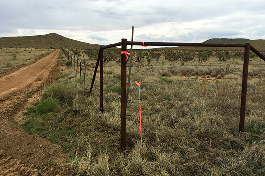
Boundary Surveys
A boundary survey determines the property lines of a parcel of land according to the location, study, and interpretation of all the available deeds, contracts, maps, wills, or other documents that contain a description of the land’s boundaries. The determination consists of a study of all the documents and evidence related to what the true property description is presumed to be. From this data, we determine what physical evidence of the boundary location exists in the field. A boundary survey is more than just a set of accurate land measurements. Rather, it is a thorough retracing of the title and analysis of the physical evidence of boundaries. It is a land investigation which defines the location, dimensions, and area of a parcel of land.
Platting and Re-Platting
Platting services are generally needed when someone is changing the legal description of a tract of land by splitting or dividing the land into a different configuration or when combining existing lots to make a larger lot for the purpose of building development in Bexar County. There are many different guidelines for this type of work. Elizondo & Associates – Land Surveying & Mapping, LLC. will coordinate this time-consuming process and work with San Antonio city staff to complete your platting or re-platting services.
Our services and experience are not limited to San Antonio and Bexar County. We are fully capable of performing platting or re-platting services in adjacent counties according to respective jurisdictions guidelines or regulations.

Easement Preparation
An easement grants one party the right to use land that is owned by a second party. An easement exhibit shows the easement’s location on a piece of property. Commonly, many types of easements are required in preparation for construction of roads; water, storm drainage or sewer lines; and power, telephone, or cable lines. They are also required when clients are planning to grant an easement or right-of-way to access their property, install utilities, maintain structures, use water courses, etc. This process involves preparing an “Easement Description” and “Exhibit” which can be recorded with applicable oversight agencies.

Construction Staking and Layout
Applying surveying techniques to stake out buildings, roads, walls, utilities, and other items used for construction and infrastructure. Construction staking and layout provides line, grade, control elevations, horizontal positions, dimensions, and configurations for construction operations.

Expert Testimony
Professional surveyors are used in trials where expert testimony is needed. To qualify to provide expert testimony and/or Certificates of Merit in cases involving land surveyors, experts must be licensed and registered in the State of Texas and be actively engaged in the practice of surveying.

Cell Tower / Communication
Telecommunications surveying services are integral to the growth of wireless infrastructure. New cell towers must be erected, and existing ones must be upgraded. The cell tower location survey helps telecommunication companies comply with municipality and federal rules and regulations.

FEMA Elevation Certificates
An Elevation Certificate is a form issued by The Federal Emergency Management Agency (FEMA). The Elevation Certificate, or FEMA Certificate, identifies the flood- and non-flood hazard areas in which a property is located, as well as the elevation of the building. Insurance agents use Elevation Certificates when quoting a property’s flood insurance rates.

Drone UAV/UAS Surveying Services
Drones are used for capturing data and analyzing the information which makes it easier to visualize progress of projects. Drones provide the ability to collect and report data quickly. They also can be used in areas that are not easily accessible to humans such as mountain tops or dangerous terrain areas. Drone technology empowers surveyors to undertake complex projects in a safer, more efficient, and cost-effective manner.

Aerial Mapping
Aerial Surveys are ideally suited for:
- Complex, large, and/or dangerous sites
- Volume calculation surveys
- Georeferenced orthophotography
- Visualization & simulations